Peaks and Valleys
The Appalachian Trail

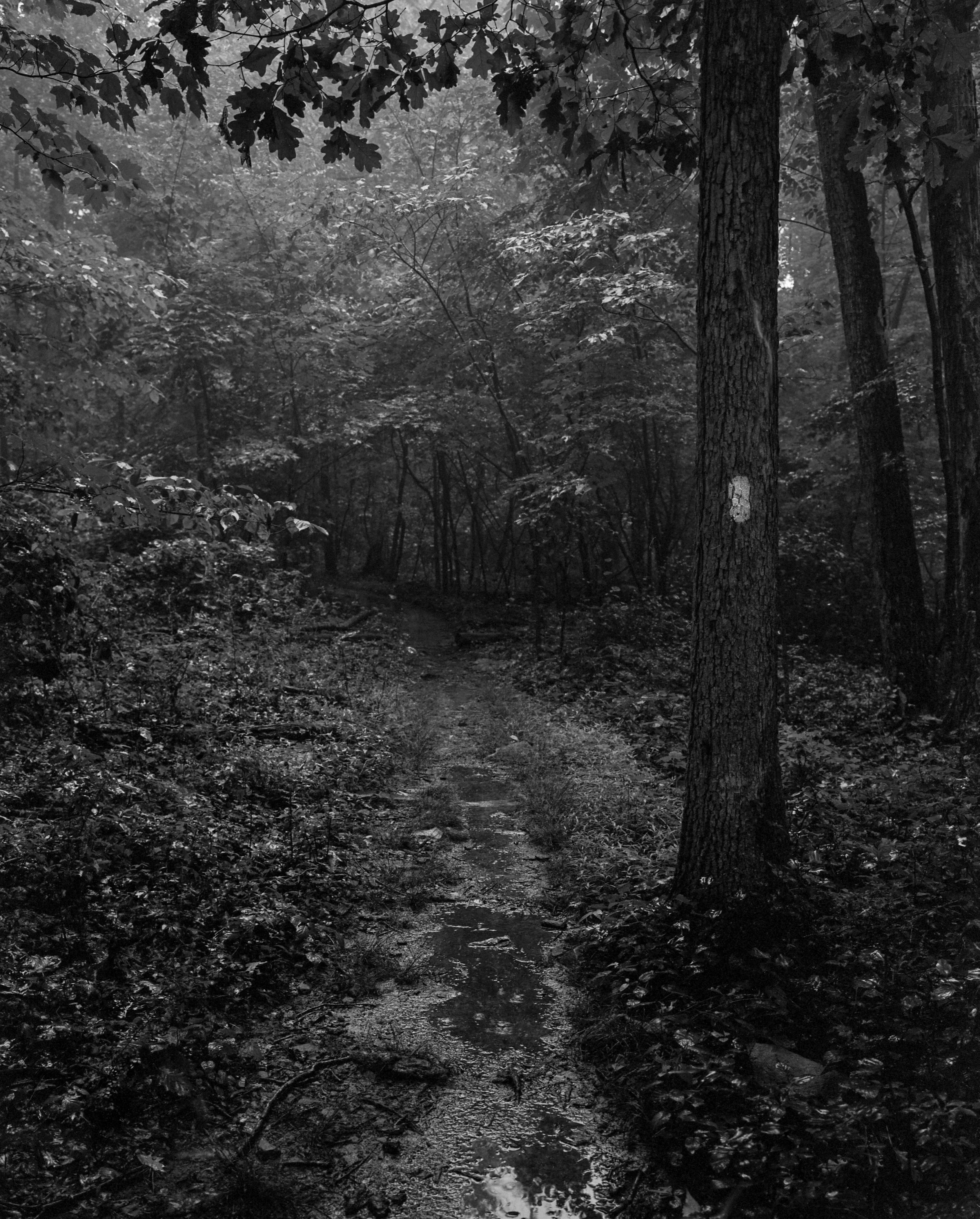
White Blaze — a rectangle of white paint two inches wide by six inches high placed on trees, rocks, and other surfaces to guide hikers along the Appalachian Trail. There are approximately 165,000 white blazes throughout the entire length of the Appalachian Trail.
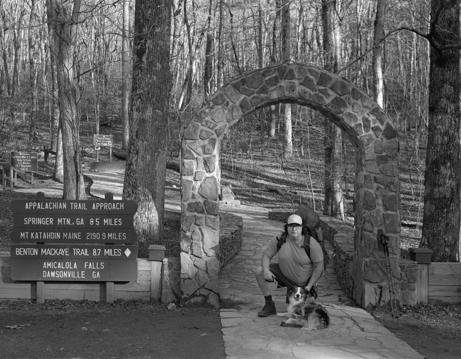
Papa Bear & Care Bear — Amicalola Falls State Park — Georgia — mile -8.5.
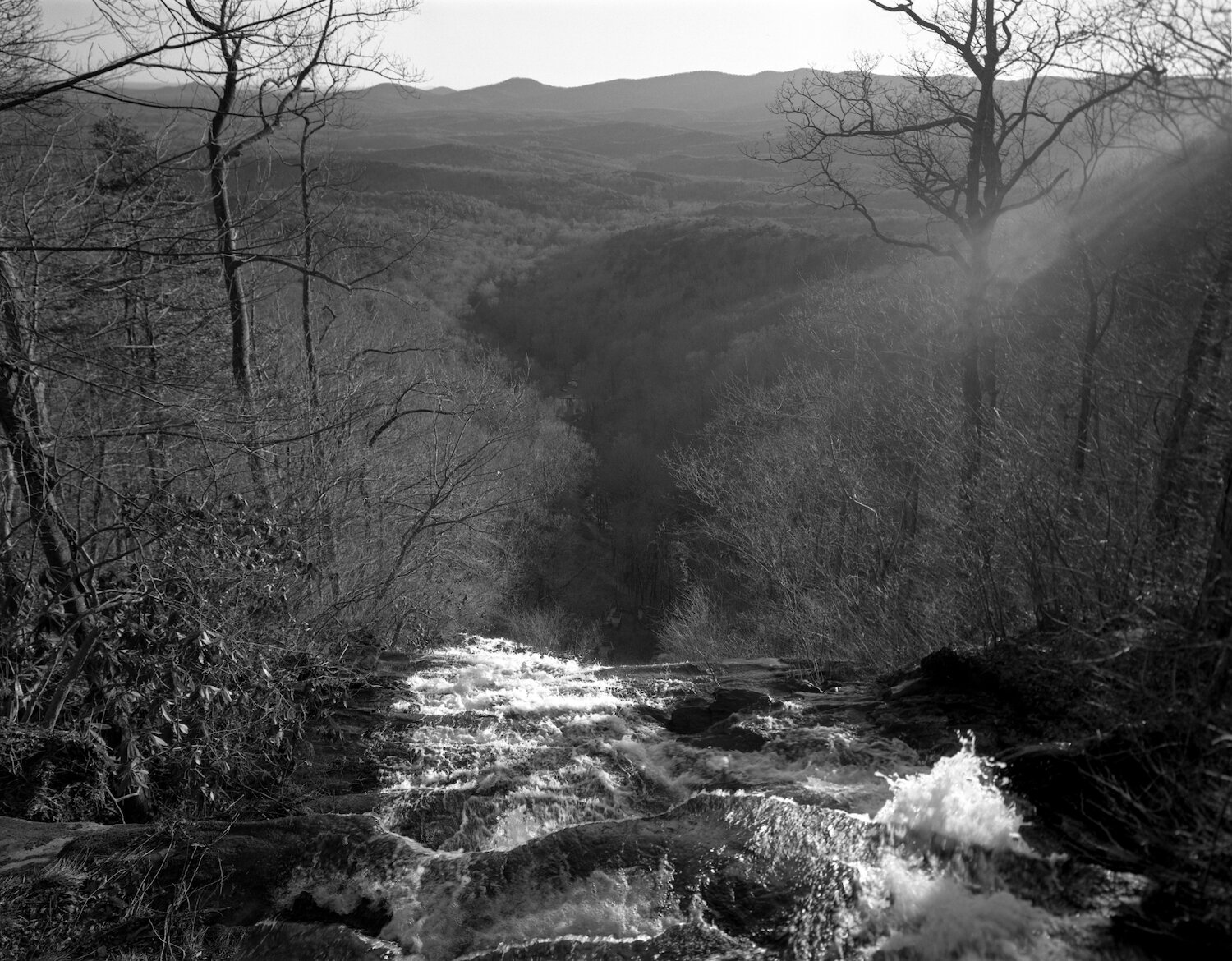
Amicalola Falls — Amicalola Falls State Park — Georgia — mile -7.6
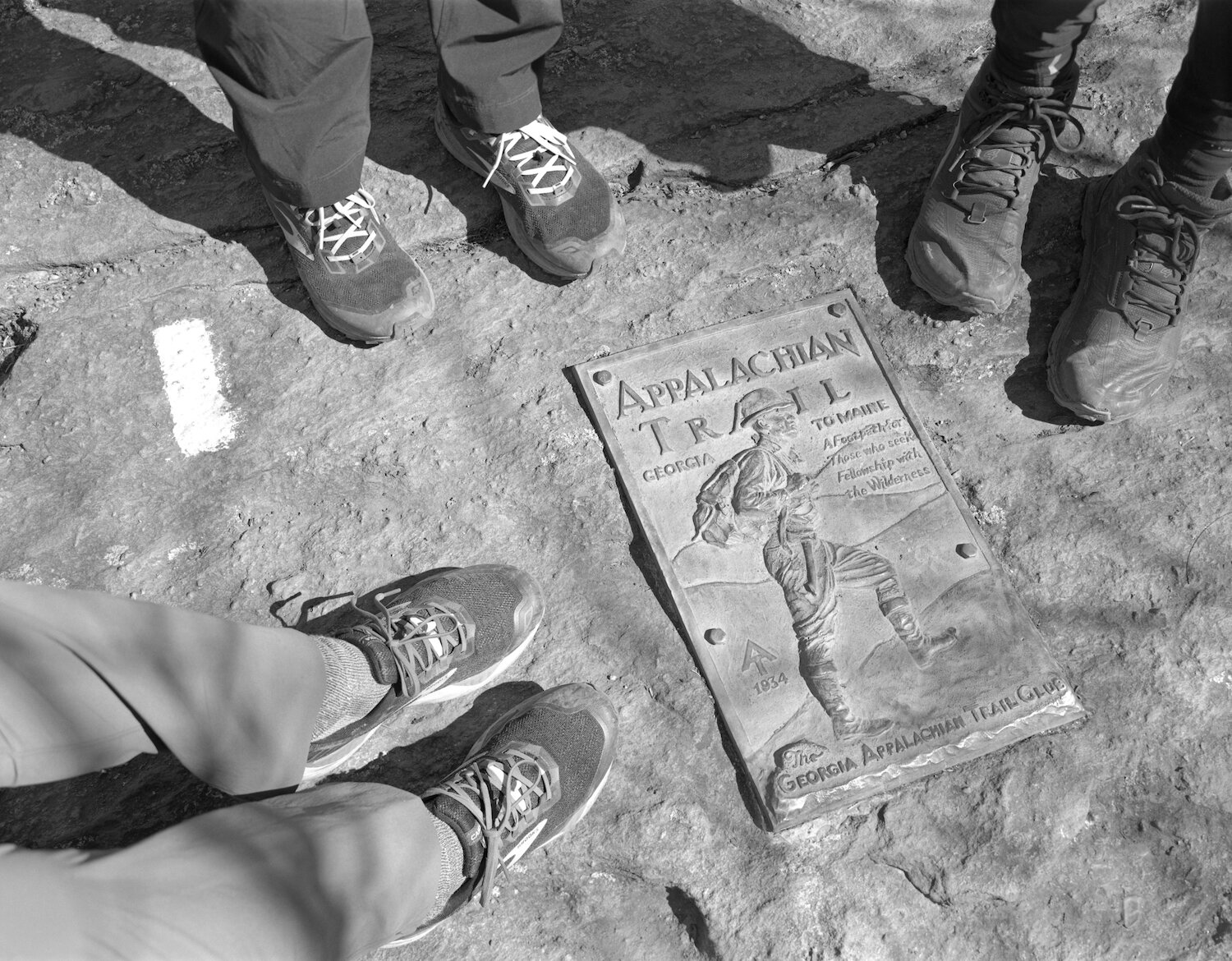
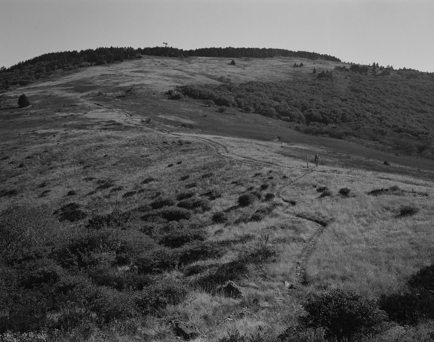
"A Footpath for Those who seek Fellowship with the Wilderness." The summit of Springer Mountain — the Southern Terminus of the Appalachian Trail — Georgia — mile 0.0
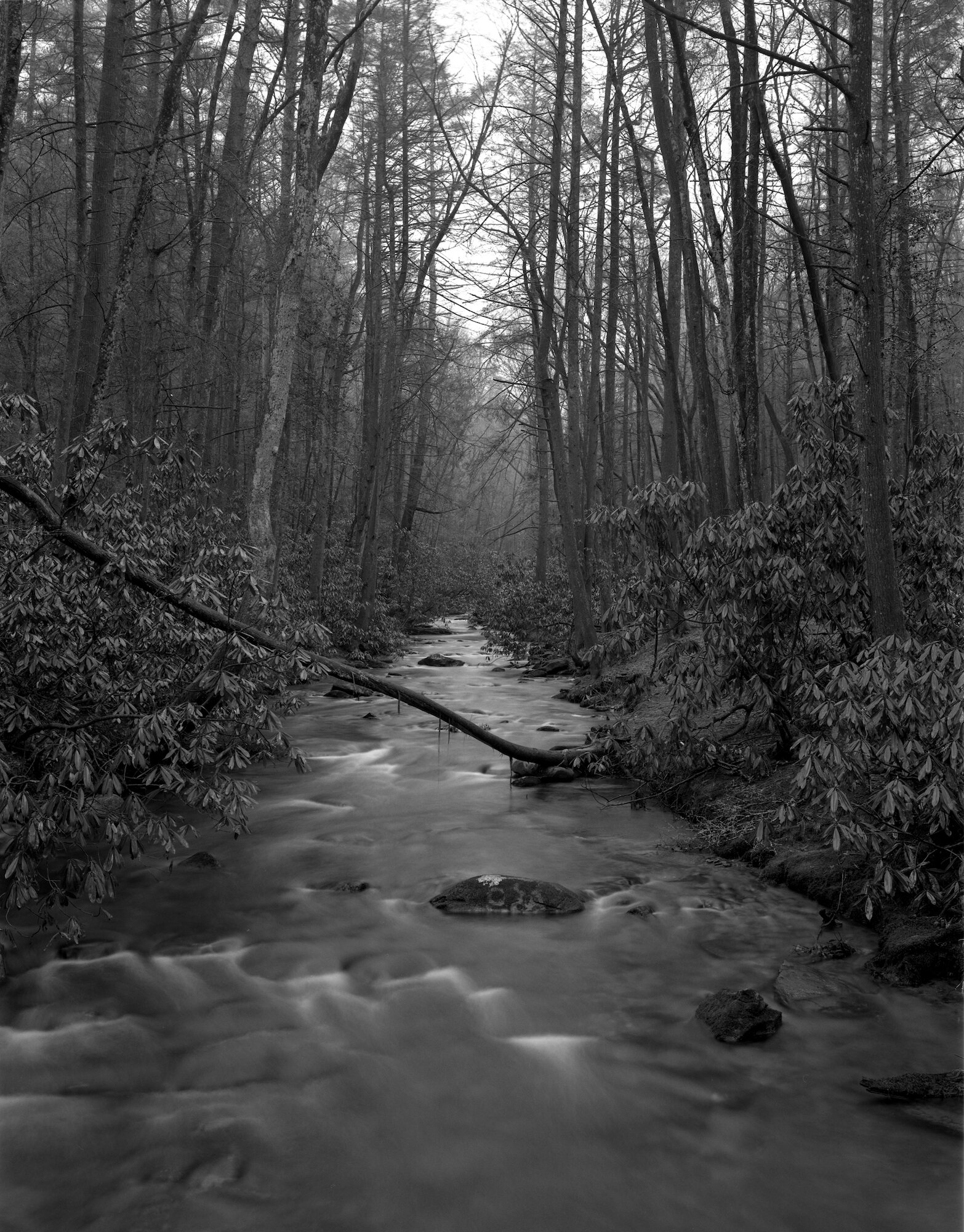
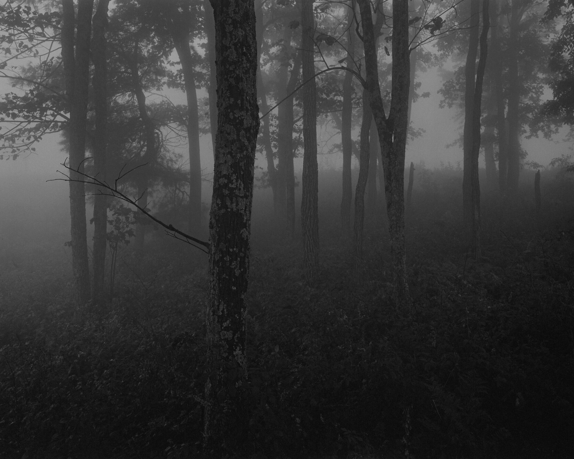
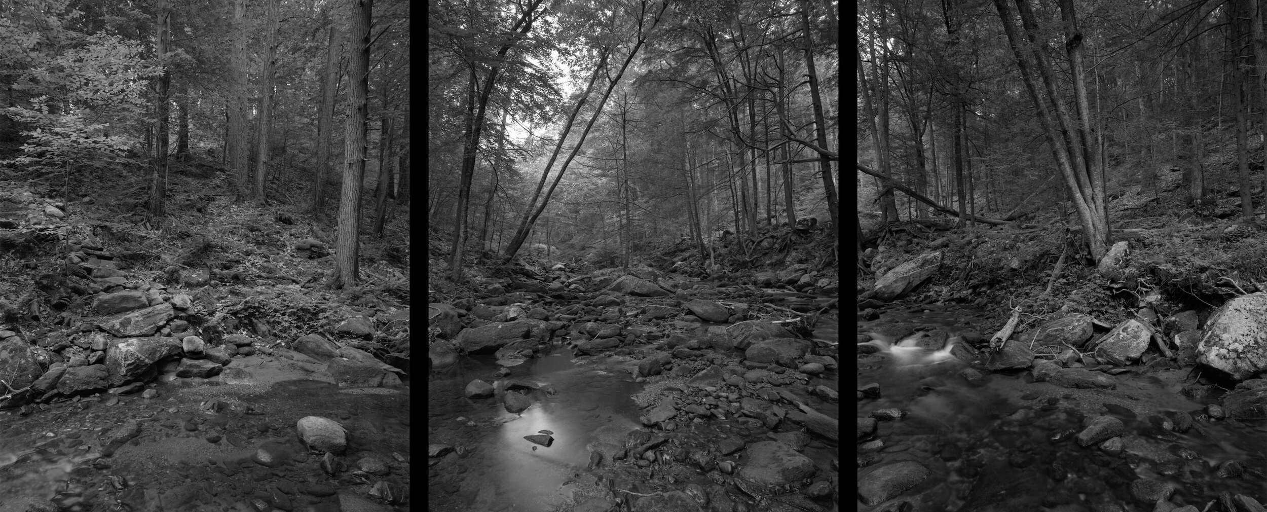
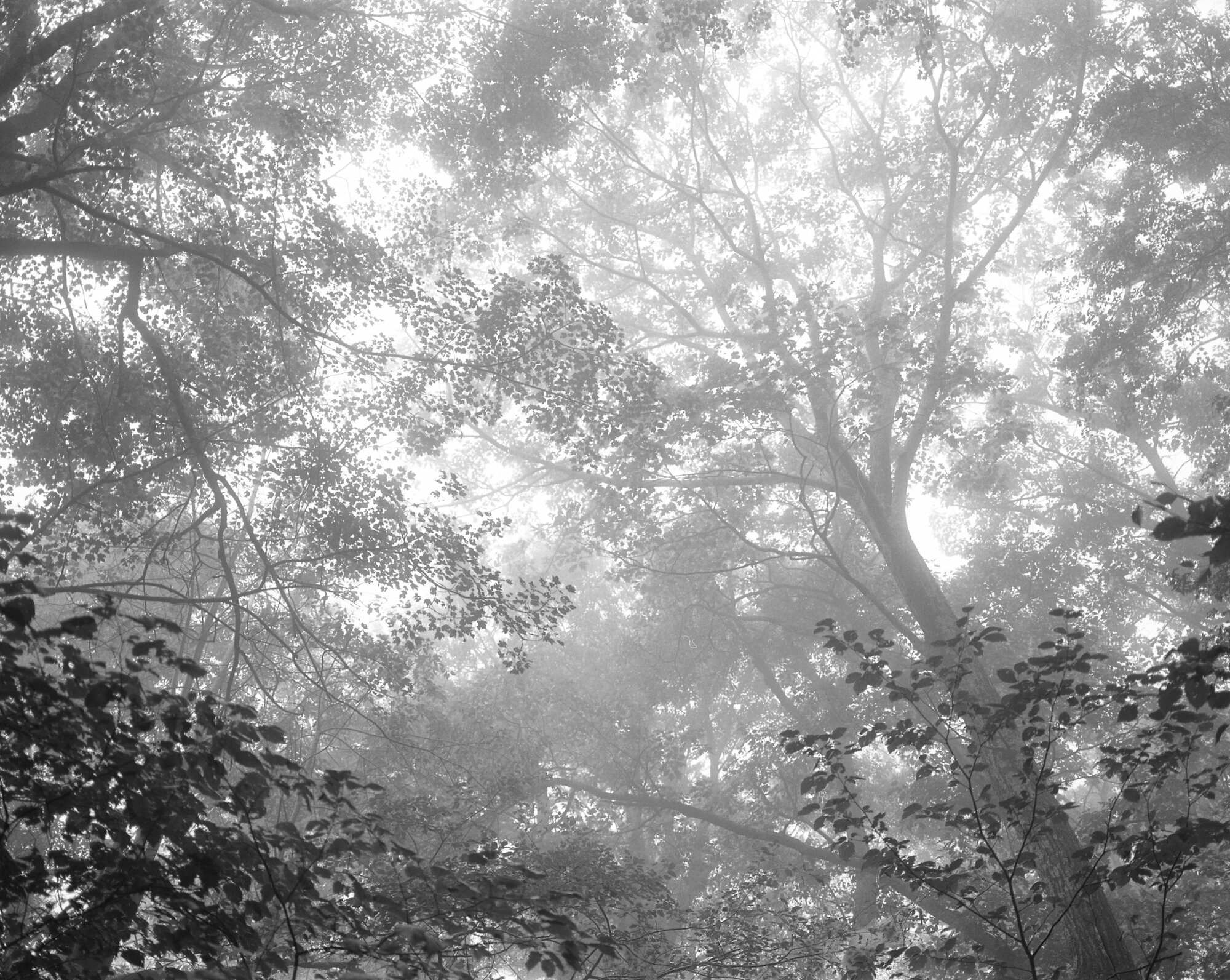
Stover Creek — Georgia — mile 3.8

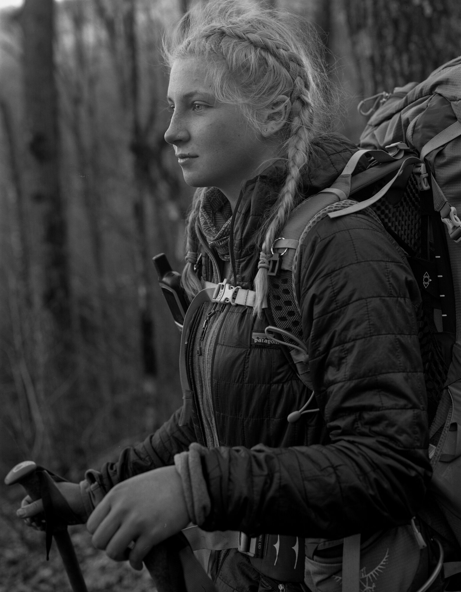
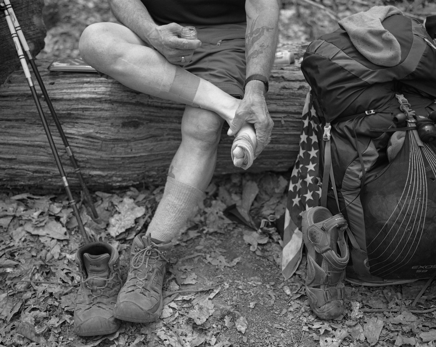
Spicy Brown — Hawk Mountain Shelter — Georgia — mile 8.1
Lance Creek — Georgia — mile 23.8
Night Heaver — Jarrad Gap — Georgia — mile 26.2
Main Street, Hiawassee, Georgia — accessible from Unicoi Gap — mile 52.5

Rainbow — Georgia — mile 67.6

Halo & Zoomie — The Twisted Oak at Bly Gap — North Carolina — mile 78.2

North Carolina — mile 79.8
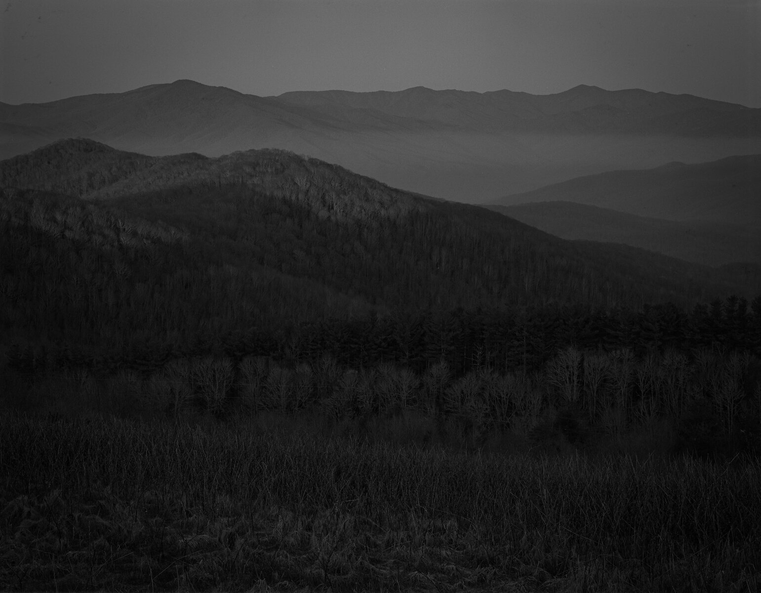
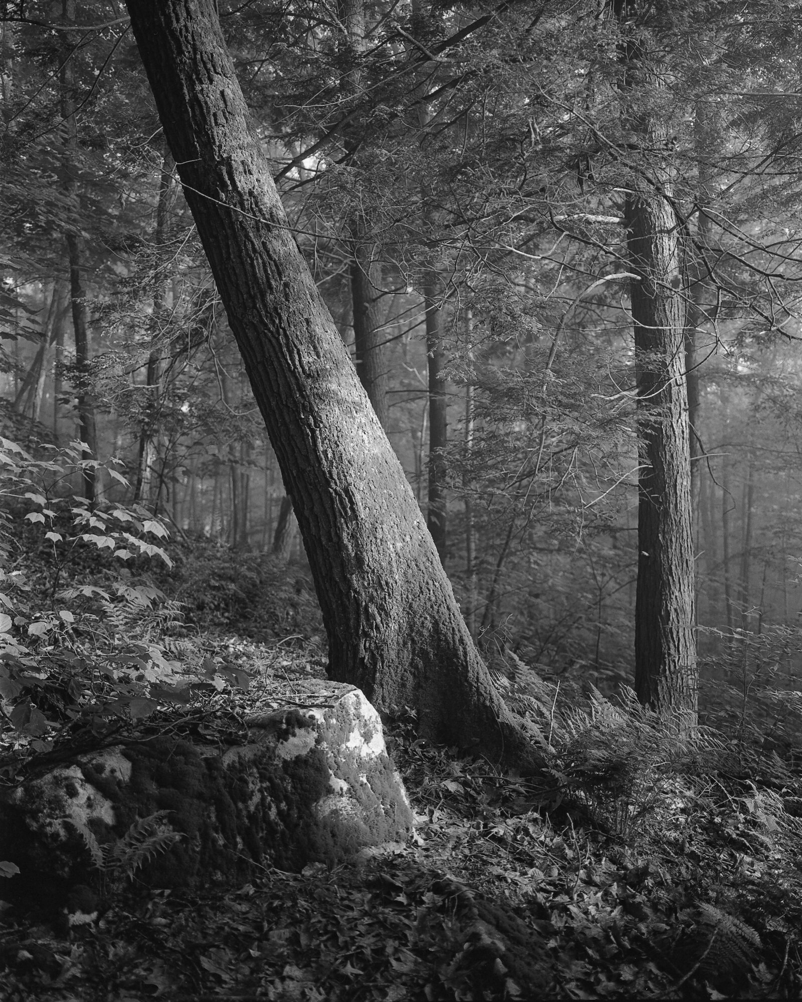
Catawba Rhododendron atop Standing Indian Mountain — North Carolina — mile 95.3
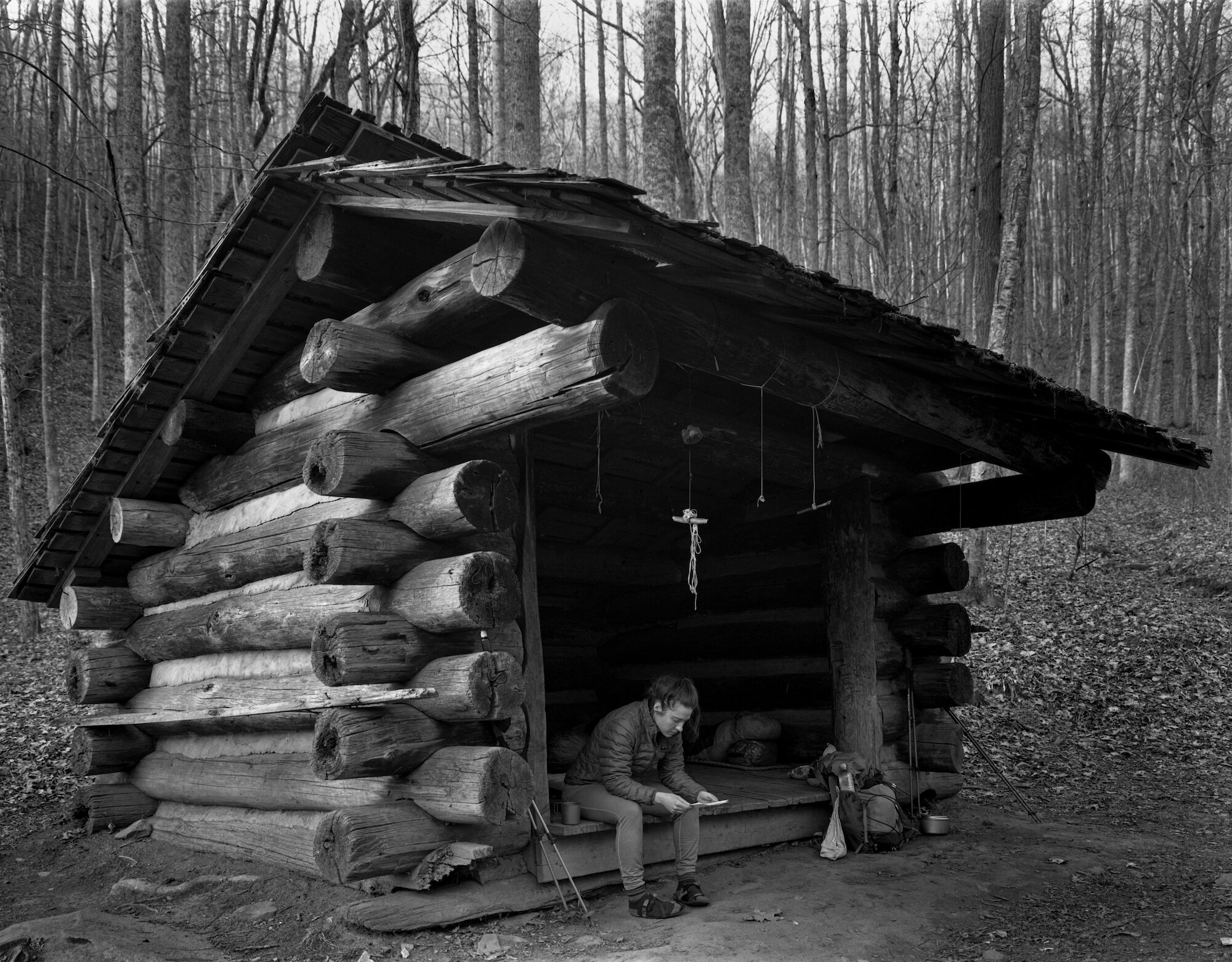
Pixie — Long Branch Shelter — North Carolina — mile 102.2
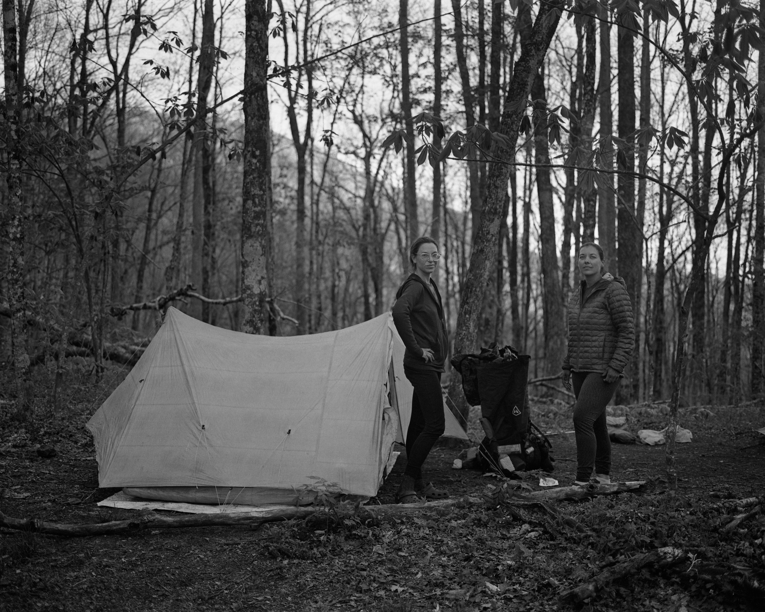
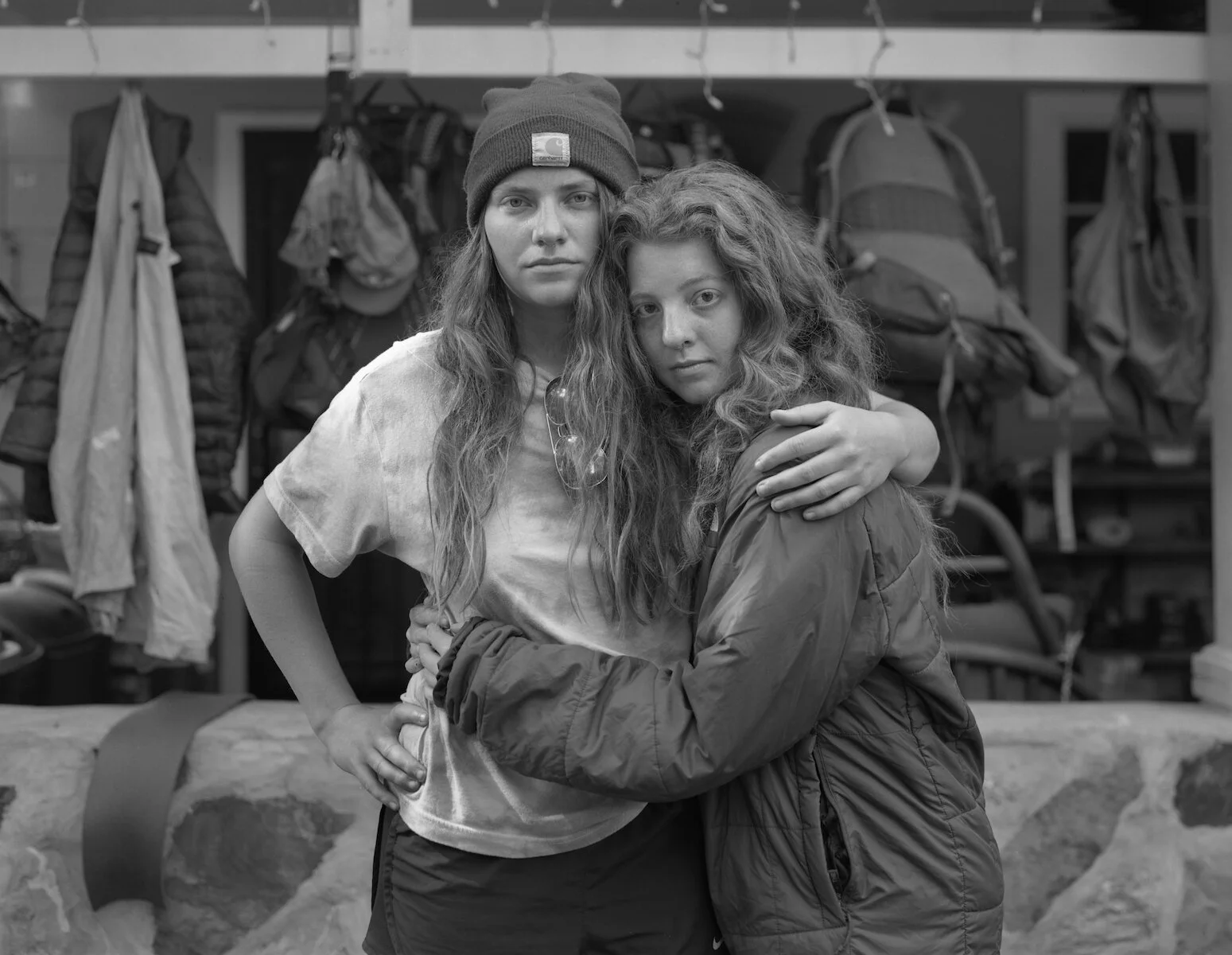
Lauren — Cable Gap Shelter — North Carolina — mile 159.2
Facing West at Sunrise on Max Patch — North Carolina — mile 255.1

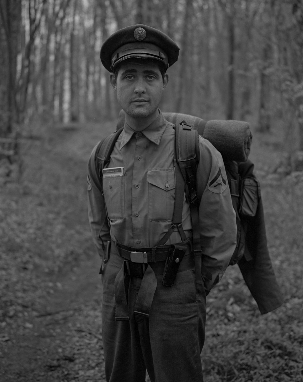
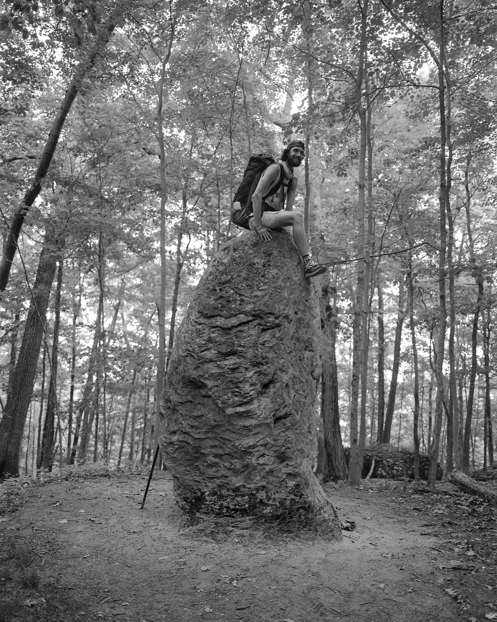
Nimblewill Nomad — North Carolina — mile 256.6

North Carolina — mile 270.0
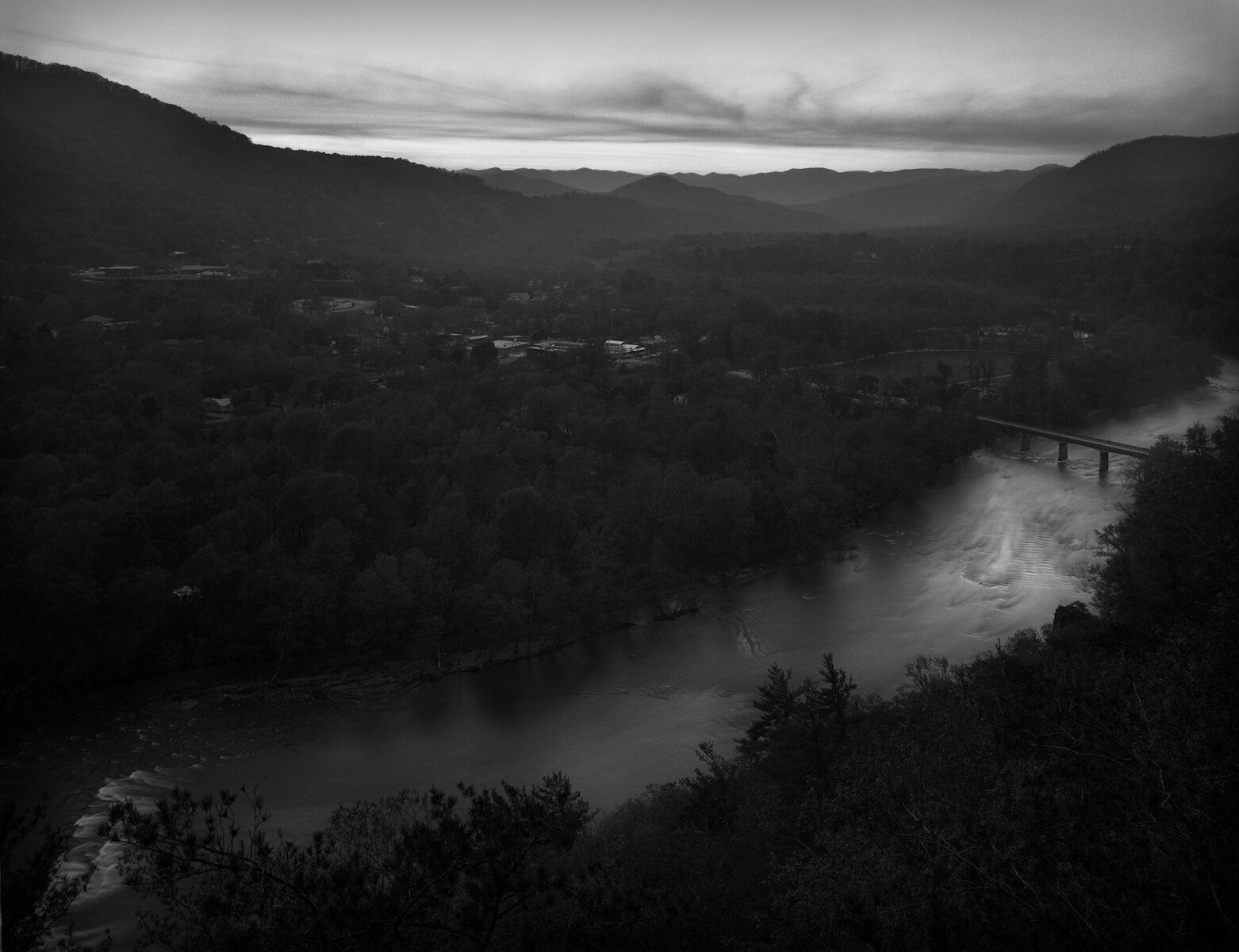
Lovers Leap — French Broad River — Hot Springs, North Carolina — mile 276.2

Onessimus — North Carolina — mile 279.8
Wanderer — Tennessee — mile 292.4

Bushwack — Tennessee — mile 299.5

Whiterock Cliff — Tennessee — mile 298.1
Lost and Found & Drizzle — Tennessee — mile 313.1

Croc Pot — Tennessee — Mile 330.8
Dough Boy — Cherry Gap Shelter — Tennessee — mile 361.4
Albatross & Flash — Tennessee — mile 365.4

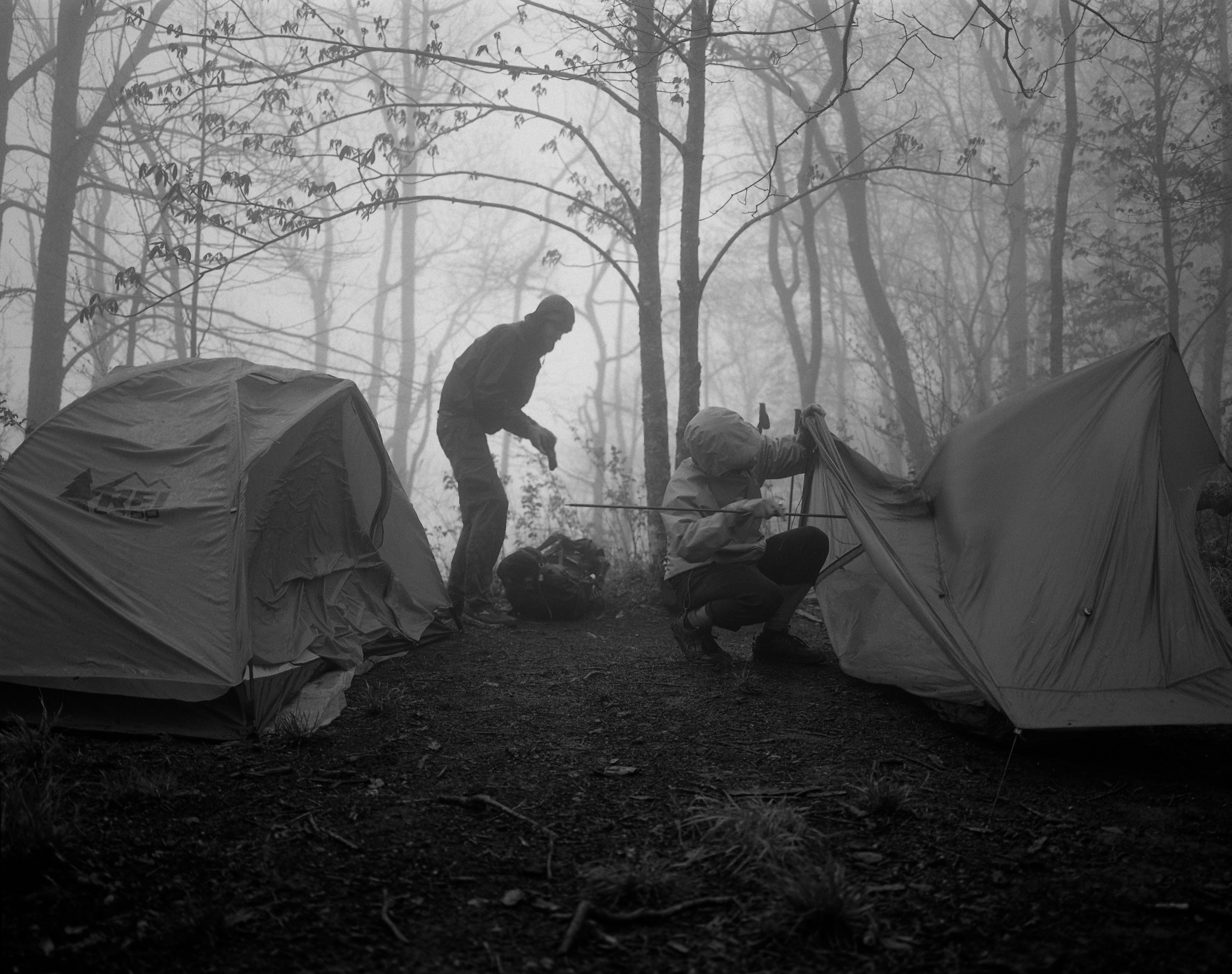
Tennessee — mile 365.6

Tennessee — mile 365.9

Tennessee — mile 366.7

Odie — Trail Days — Damascus, VA — mile 470.4

Crazy Larry — Crazy Larry's Hiker Hostel —Damascus, Virginia — mile 471.1

Bear Claw — Crazy Larry's Hiker Hostel — Damascus, Virginia — mile 471.1
Standing atop Buzzard Rock viewing the Summit of Whitetop Mountain — Virginia — mile 491.5

Grayson Highlands State Park — Virginia — mile 500.4
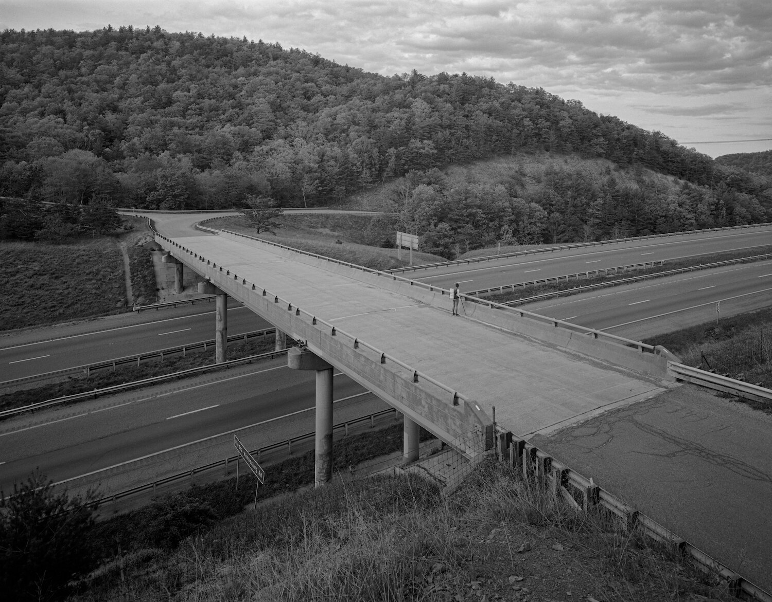
Crossing over Interstate 77 on VA Route 612 — Virginia — mile 592.3

Azalea — Virginia — mile 600.2

Little Pink Lady — Virginia — mile 600.3

Poko — Angels Rest Hiker Haven, Pearisburg, VA — accessible from VA Route 100 — mile 637.0

Trail Magic — Virginia — mile 678.5
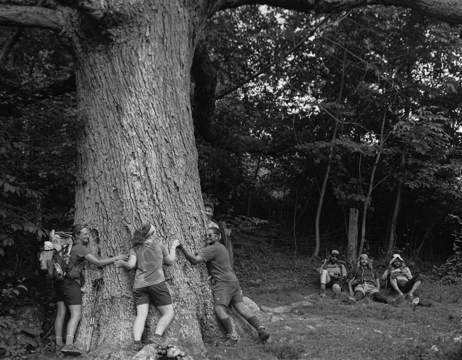
Keffer Oak — Virginia — mile 678.9

Sam — Dragon's Tooth — Virginia — mile 702.3
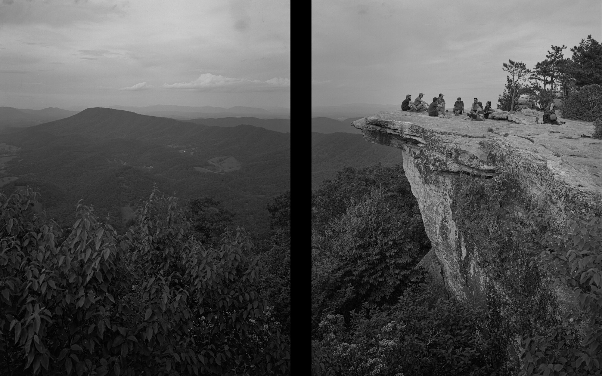
McAfee Knob — Virginia — mile 714.2
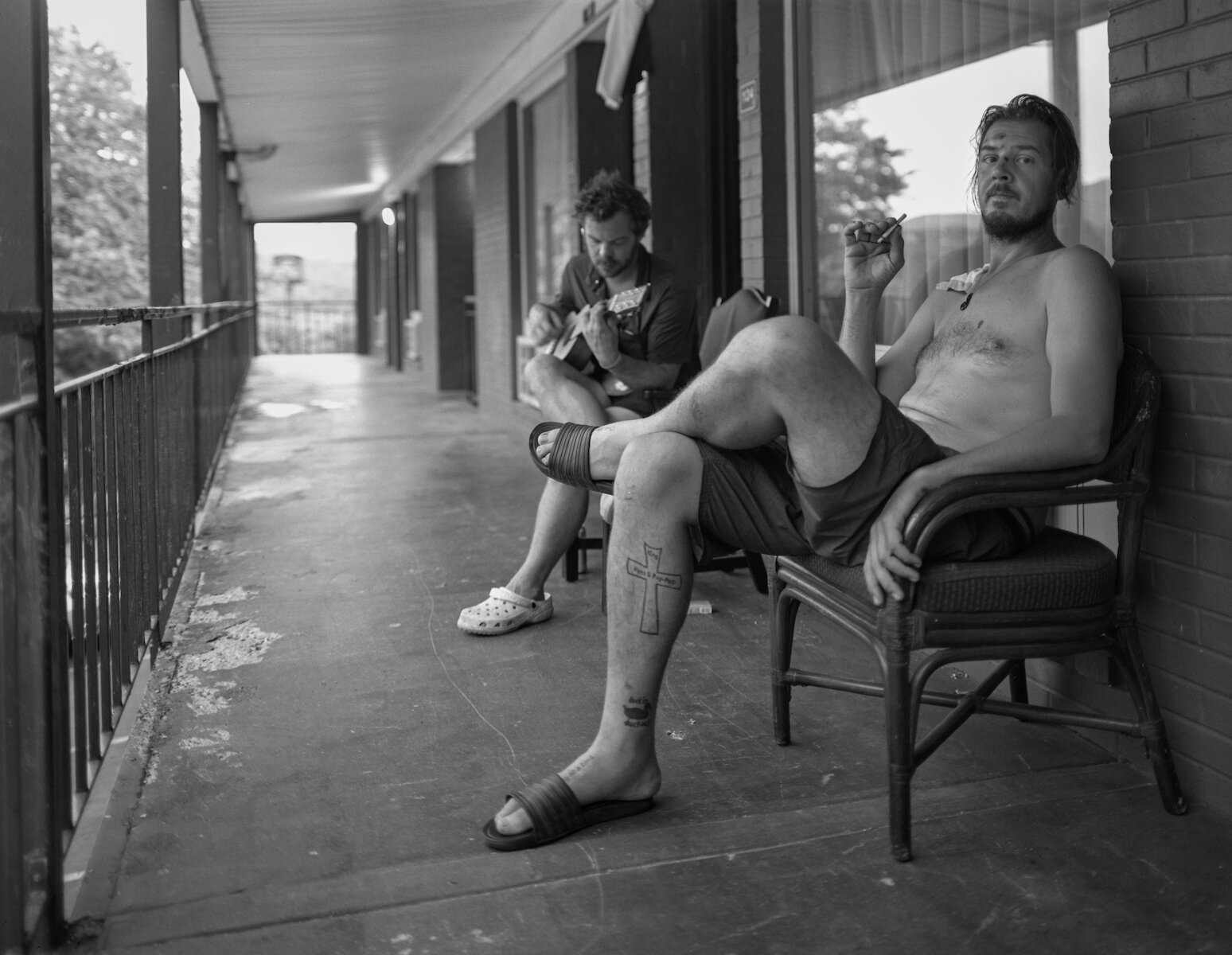
Squatch & Traffic Light — Howard Johnson Motel, Daleville, VA — accessible from US Route 220 — mile 730.3

Boomhower — Virginia — mile 786.9

Bull — Virginia — mile 786.9
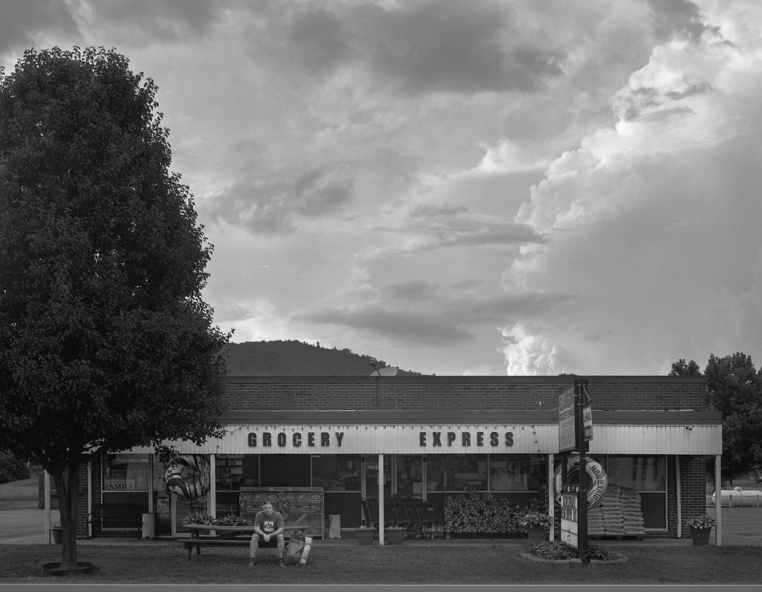
Chives — Grocery Express, Glasgow, VA — accessible from US 501 — mile 787.3

The Book of Confessions — Priest Mountain Shelter — Virginia — mile 829.7

Crabman & Rocket — Virginia — mile 864.6

Benji — Ivy Creek — Shenandoah National Park — mile 895.2
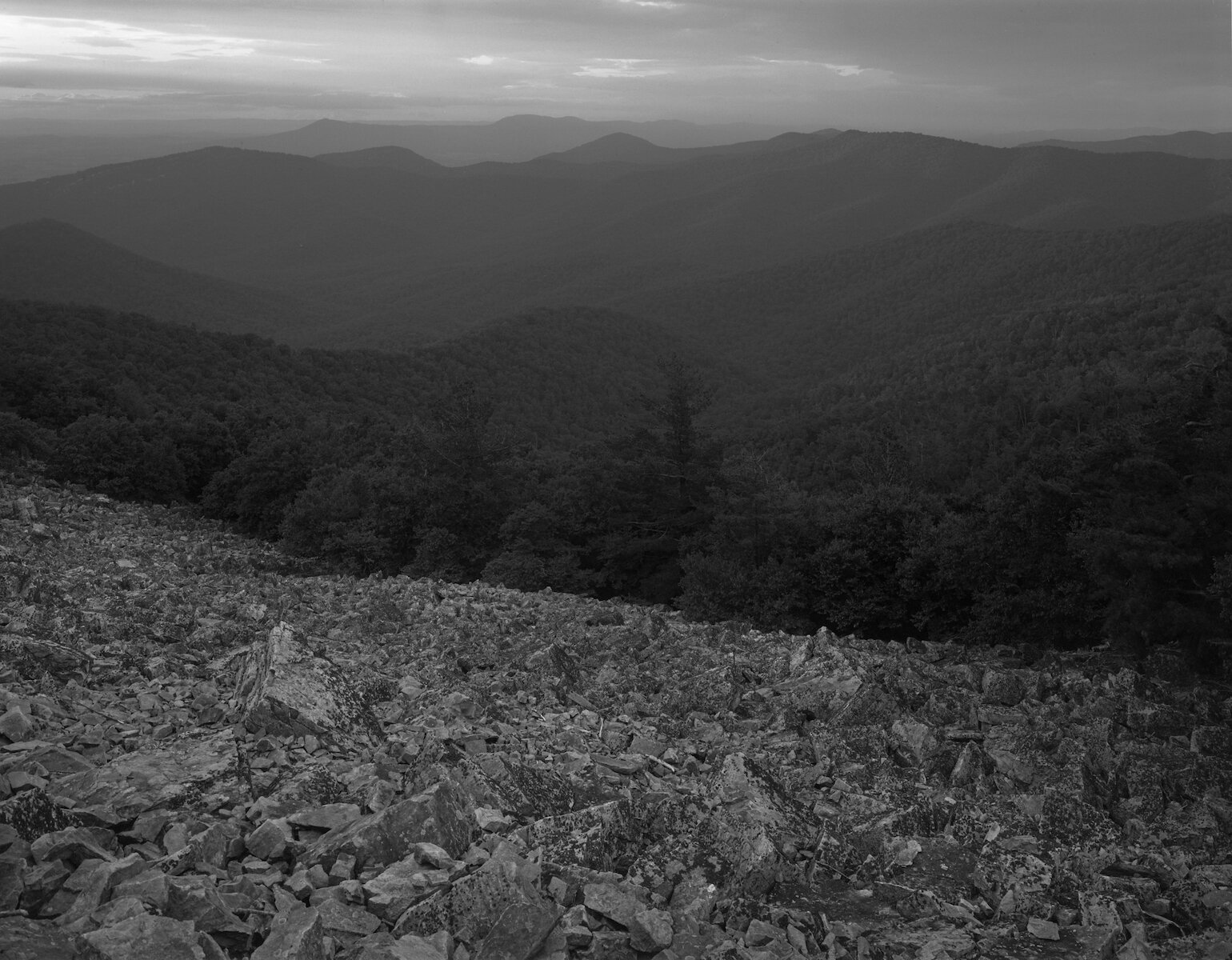
Blackrock Vista — Shenandoah National Park — Virginia — 885.5
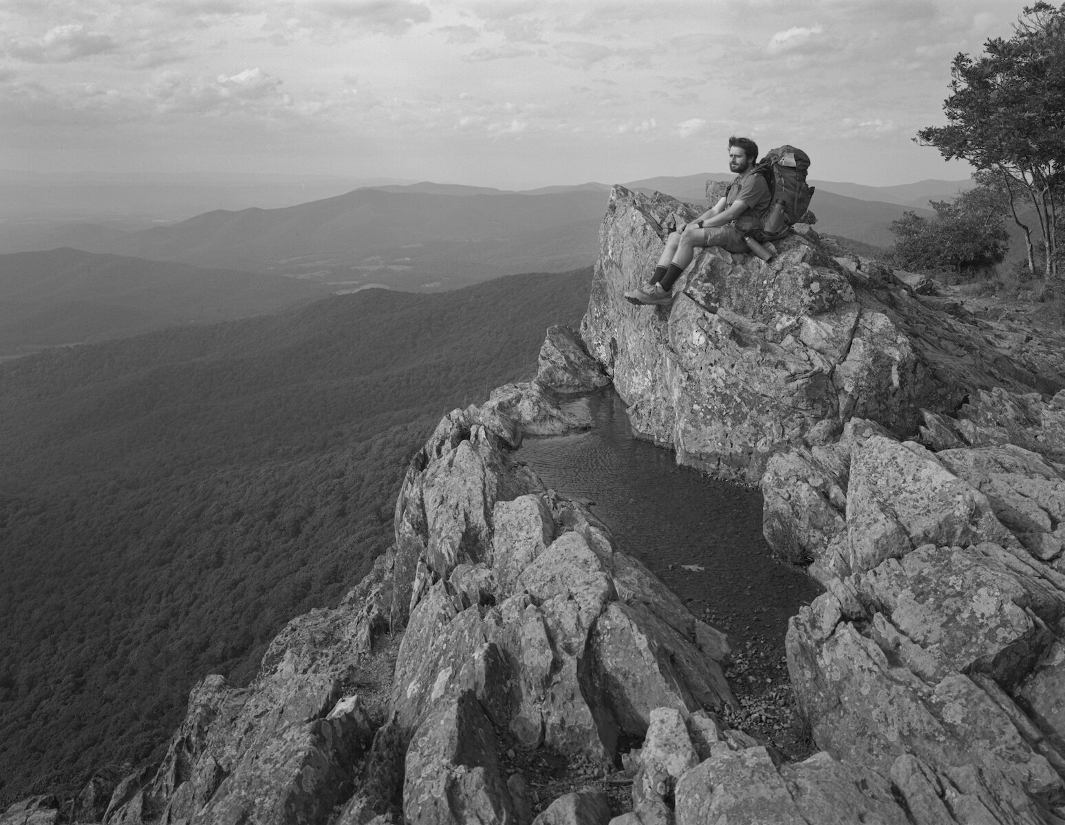
Quickdraw — Little Stony Man Vista — Virginia — mile 936.0
Jewell Hollow — Virginia — mile 939.4
Noodle & Honey Badger — Open Arms Hostel, Luray, VA — accessible from Thornton Gap, US Route 211 — mile 944.4
West Virginia — mile 1021.0
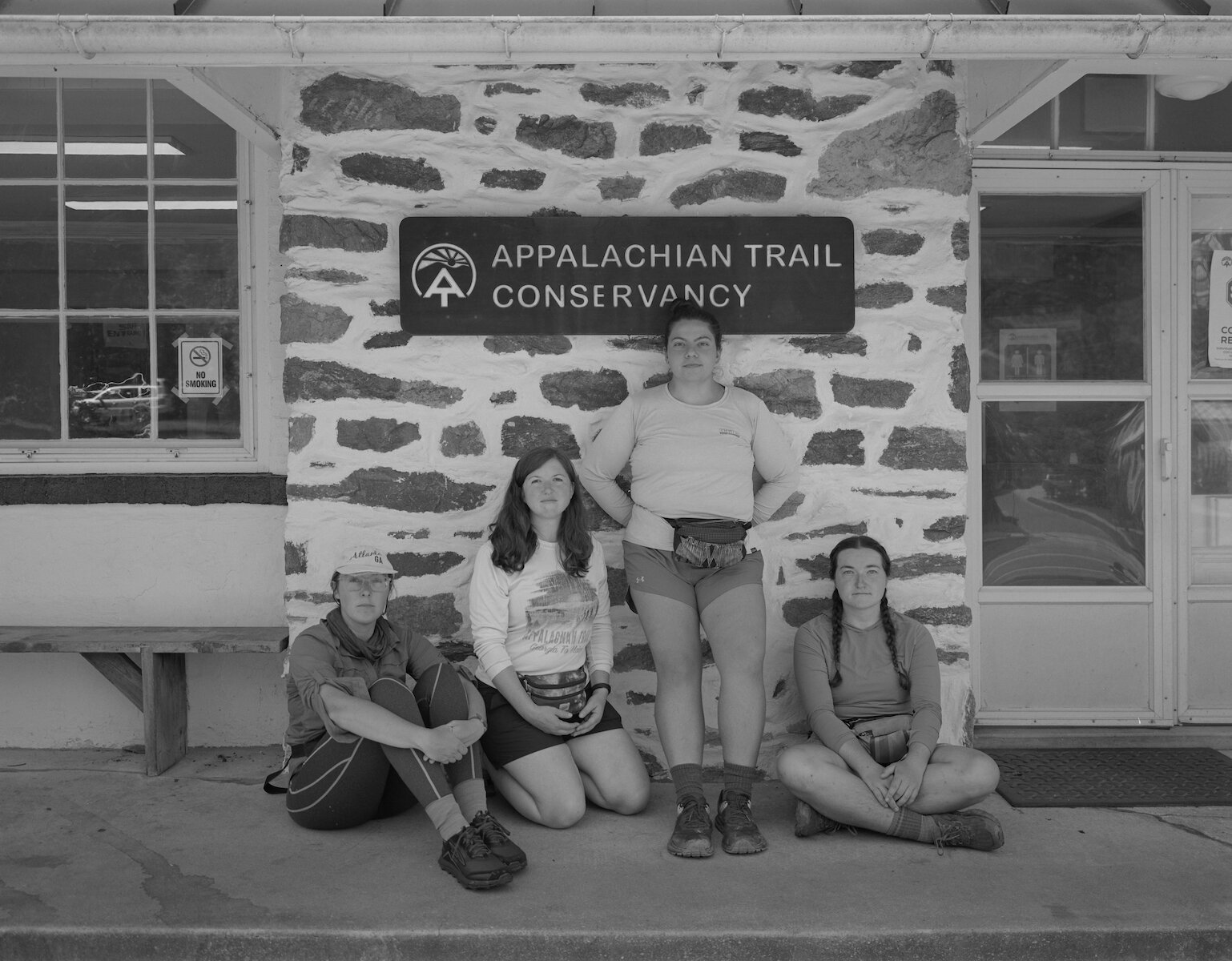
Phantom, Birdie, Lowrider & Sparky — Appalachian Trail Conservancy Headquarters, Harpers Ferry, WV — mile 1025.4

Maryland Heights Overlook viewing Harpers Ferry, WV, the Goodloe E. Byron Memorial Pedestrian Walkway, and the Confluence of the Shenandoah and Potomac Rivers. The footbridge across the Potomac marks mile 1026.1.

Optimist — Delaware Water Gap, PA — mile 1296.0

New Shoes — New York — mile 1375.4
Guinea Brook — Connecticut — mile 1481.4

Will — Pine Knob — Connecticut — mile 1483.4

Connecticut — mile 1492.7
Connecticut — mile 1492.7
Waterfall — Giant's Thumb — Connecticut — mile 1499.1

Bear Box — Riga Shelter — Connecticut — mile 1507.1

Riga Shelter (now demolished) — Connecticut — mile 1507.1

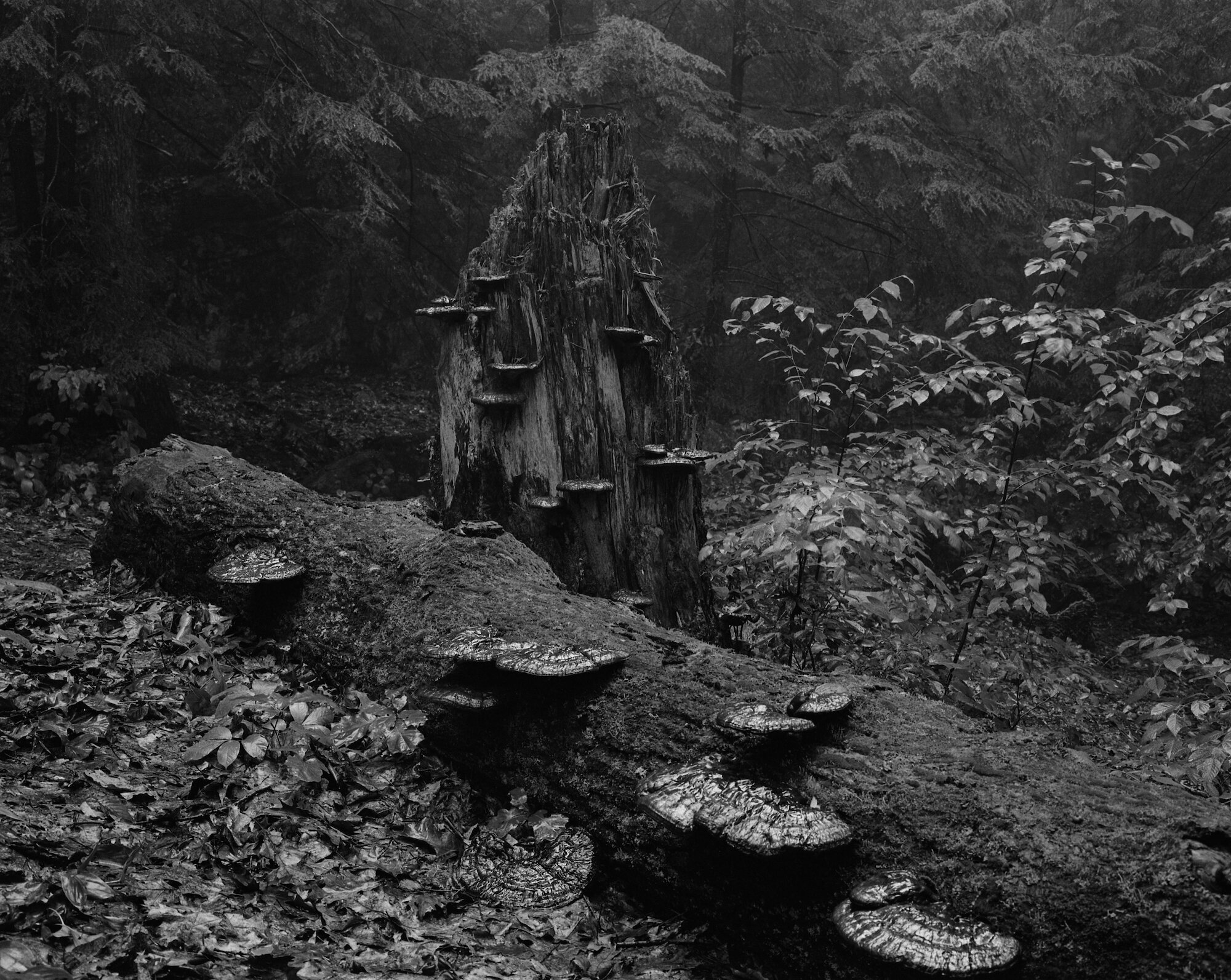
Amanita bisporigera aka the Destroying Angel — Massachusetts — mile 1519.7
Massachusetts — mile 1530.3
Massachusetts — mile 1536.3

Massachusetts — mile 1542.5

Clear Cut — Massachusetts — mile 1562.0

Puppy — Mark Noepel Shelter — Massachusetts — mile 1585.9

Stratton Mountain — Vermont — mile 1641.5

Nobobird — Vermont — mile 1655.3

Cowboy — Vermont — mile 1655.3
Little Rock Pond — Vermont — mile 1674.0
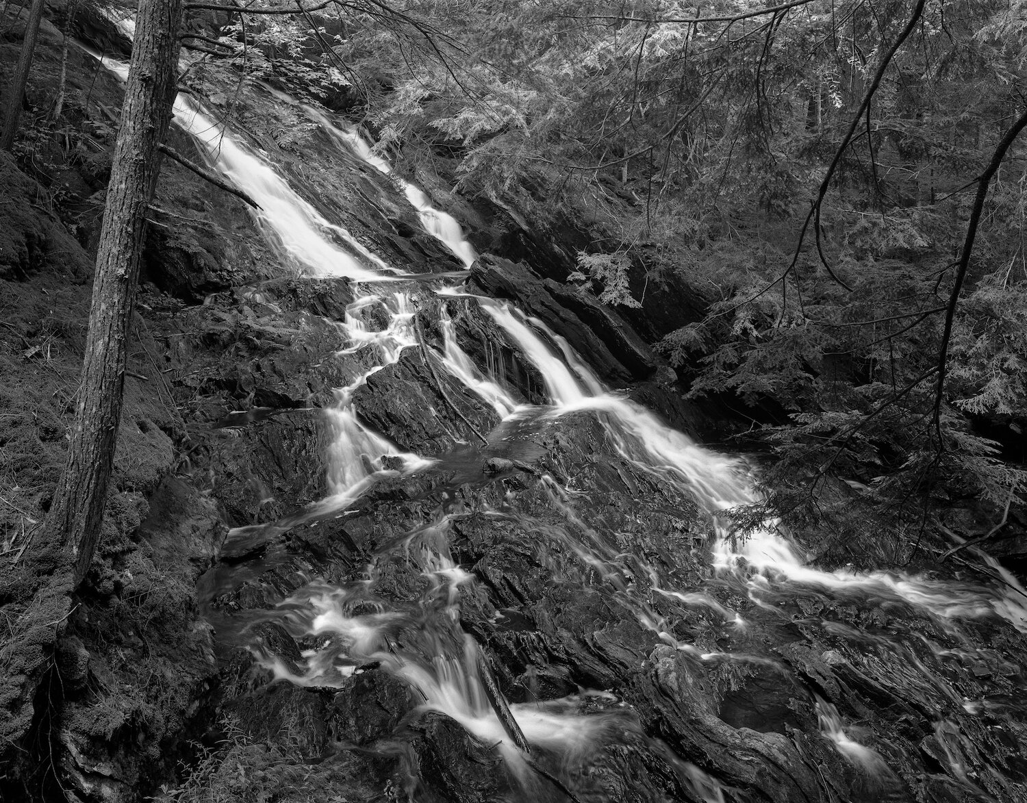
Thundering Falls — Vermont — mile 1709.5

"The Brother Husbands and Sister Wives Trail Family" — Bully Brook — Vermont — mile 1680.7